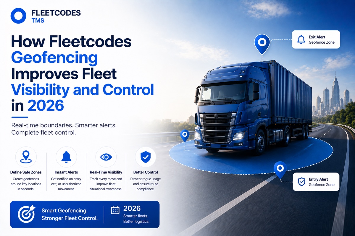
Your trucks are moving across hundreds of kilometres every day. Geofencing turns that movement into structured, automated intelligence — alerting you the moment something happens outside the plan.
What Is Geofencing — and Why Does It Matter for Fleet Operations?
A geofence is a virtual boundary drawn around a real-world geographic area — a customer warehouse, a fuel station, a state border, a restricted zone, or your own depot. When a GPS-tracked vehicle enters or exits that boundary, the system triggers an automatic event: an alert, a status update, a timestamp, a notification.
Geofencing in transportation is one of the most operationally powerful features available in modern fleet management — and also one of the most underused, largely because most basic GPS tools implement it poorly or not at all.
When geofencing is fully integrated into a transport management system like Fleetcodes, it becomes the foundation for automated fleet visibility, accountability, and control — without requiring a dispatcher to manually monitor every vehicle at every moment.
See how Fleetcodes geofencing works → Book a Free Demo
Geofencing in Cars vs. Trucks: Why Commercial Fleet Geofencing Is Different
Consumer geofencing — the kind used in geofencing in cars for insurance monitoring or family tracking — is relatively simple. One vehicle, one boundary, one alert.
Geofencing in trucks for commercial fleet management is a fundamentally different challenge:
- You're managing dozens or hundreds of vehicles simultaneously
- Each vehicle may have different geofence rules based on its route, customer, and cargo
- Alerts need to trigger automated back-office workflows — not just a notification on a phone
- The geofence data needs to feed into billing (detention tracking), compliance (e-way bill zone crossing), and operations reporting
Fleetcodes' geofencing module is built for this commercial complexity — handling multi-vehicle, multi-zone geofencing with automated workflow triggers that go far beyond a simple location alert.
Geofencing in Transportation: The Six Use Cases That Deliver Real Value
1. Automated Arrival and Departure Confirmation
When a vehicle enters a customer's delivery geofence, Fleetcodes automatically timestamps the arrival. When it exits, the departure is recorded. This gives you an accurate, tamper-proof record of time at every location — without relying on driver phone calls or manual status updates.
This is especially valuable for geofencing in transportation cost management: when arrival and departure times are automatically recorded, detention billing is accurate and defensible. You know exactly when the truck arrived and when it left — and you can bill accordingly.
2. Detention Tracking and Billing
Uncompensated waiting time at loading docks is one of the most common sources of hidden cost in fleet operations. Without automated time-at-location tracking, detention charges are often disputed or simply not claimed because the records don't exist.
Fleetcodes' geofencing automatically records time within a customer's zone. When the truck exceeds the agreed free-time window, the system flags the detention automatically — giving your billing team accurate data to raise detention charges without a single phone call to the driver.
3. Route Compliance and Deviation Alerts
Every trip in Fleetcodes has an expected route. When a driver deviates significantly — going through an unplanned area, stopping in an unauthorised location, or bypassing a required checkpoint — the geofence system triggers an automatic alert to the dispatcher.
This protects against fuel theft (unauthorised refuelling stops), cargo security breaches (unexpected stops in sensitive areas), and route-related compliance issues on controlled cargo lanes.
4. Automated Customer Notifications
When a vehicle enters the delivery geofence for a customer location, Fleetcodes can automatically send a notification to the customer — "Your delivery is arriving" — without any manual dispatcher action. This improves the customer experience significantly and reduces inbound "where is my delivery?" calls to your operations team.
5. Depot and Yard Management
Geofences around your own depots and yards give operations teams automatic visibility into vehicle check-in and check-out times — enabling accurate yard management, driver attendance records, and vehicle utilisation tracking without manual gate logging.
6. State Border and Compliance Checkpoints
For multi-state operations, geofences around state border zones can automatically trigger e-way bill validity checks and flag drivers where action is needed — reducing the risk of compliance violations on long-haul routes.
Geofencing Pros and Cons: An Honest Assessment
Like any operational tool, geofencing has genuine strengths and limitations worth understanding before implementation.
Geofencing Pros:
- Automated accountability — location-based events are recorded automatically, removing reliance on driver reporting
- Detention billing accuracy — time at customer locations is tracked precisely, making detention claims defensible
- Reduced dispatcher workload — automatic alerts replace manual monitoring for routine status checks
- Improved fleet productivity and equipment utilisation — managers can see idle time at locations and act on it faster
- Customer experience — automated arrival notifications improve service without adding staff effort
Geofencing Cons:
- GPS accuracy dependency — geofence triggers are only as accurate as the underlying GPS data. Fleetcodes uses high-accuracy GPS integration to minimise false alerts
- Zone setup requires initial effort — you need to map your key locations (customers, depots, checkpoints) before the system can monitor them. Fleetcodes makes this simple with a map-based zone drawing tool
- Driver awareness — drivers should understand that geofencing is about operational efficiency, not surveillance. Transparent communication during onboarding reduces friction significantly
The net assessment: when implemented thoughtfully with the right platform, the geofencing pros and cons balance strongly in favour of adoption for any fleet running more than 15–20 vehicles.
How Fleetcodes Geofencing Improves Fleet Productivity and Equipment Utilisation
One of the most direct operational benefits of geofencing is the improvement in fleet productivity and equipment utilisation that comes from accurate location intelligence.
When Fleetcodes knows exactly how long every vehicle spends at every location:
- Idle time at customer docks is visible — and pressure can be applied to reduce it
- Vehicle turnaround time improves — because slow customer locations are identified by data, not anecdote
- Fleet utilisation increases — vehicles that are genuinely available are distinguished from those in a queue at a customer location
- Driver productivity is measurable — time-at-location data feeds directly into performance reporting
This is the difference between knowing your fleet is "busy" and knowing exactly where every minute of every vehicle's day is being spent — and whether that time is generating revenue or burning cost.
Setting Up Geofencing in Fleetcodes: Simpler Than You Think
Many fleet operators assume geofencing requires specialist technical setup. In Fleetcodes, it doesn't.
Setting up a geofence is as simple as:
- Open the Fleetcodes map interface
- Draw a zone around the location you want to monitor
- Name the zone and set the rules (entry alert, exit alert, time threshold for detention)
- Assign the geofence to specific vehicles, routes, or your entire fleet
Fleetcodes comes pre-loaded with geofence templates for common use cases — customer delivery zones, depot check-in, fuel station monitoring, and highway corridor compliance — reducing setup time for the most common applications.
FAQs
What is geofencing in transportation? Geofencing in transportation is the use of virtual geographic boundaries around real-world locations — customers, depots, state borders, restricted zones — to automatically track when fleet vehicles enter or exit those areas. It enables automated status updates, detention billing, route compliance monitoring, and customer notifications.
How is geofencing in trucks different from geofencing in cars? Commercial truck geofencing manages dozens or hundreds of vehicles simultaneously, with different rules for each vehicle based on route and customer. It integrates with billing (detention), compliance (e-way bill zones), and operations reporting — going far beyond the simple location alerts used in consumer vehicle tracking.
What are the main geofencing pros and cons for fleet management? The main pros are automated accountability, accurate detention billing, reduced dispatcher monitoring workload, and improved fleet productivity. The main cons are dependency on GPS accuracy and the need for initial zone setup — both of which Fleetcodes addresses with high-accuracy GPS integration and a simple map-based zone drawing tool.
How does geofencing help control geofencing in transportation cost? Geofencing reduces transportation costs in several ways: accurate detention billing recovers money from uncompensated waiting time, route deviation alerts prevent unnecessary fuel consumption, and idle time visibility enables faster vehicle turnaround at customer locations.
Does Fleetcodes geofencing work without additional hardware? Fleetcodes geofencing works with your existing GPS hardware — no additional devices are required. The geofence logic runs in the Fleetcodes platform and processes the location data from your current GPS infrastructure.
Know where every truck is, what it's doing, and whether it's on plan — automatically. Book Your Free Fleetcodes Demo →